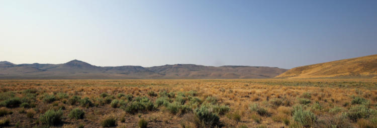
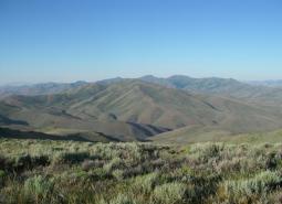
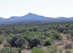
This COA straddles US Highway 78 southeast of Malheur Lake and provides connectivity between the Crowley (185) COA, Ten Cent Lake-Juniper Lake Area (193) COA, and the Steens Mountain High Lava Plains (192) COA. North of US Highway 78 the COA includes Malheur Cave and a section of South Fork Malheur River. South of 78 the COA encompasses Riddle Mountain, Burnt Flat, and sections of creeks and seasonal drainages fed by the northern ridge of Steens Mountain.
COA ID: 188
Ecoregions
Strategy Habitats
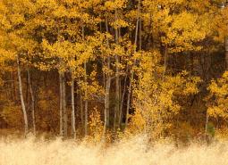
Aspen Woodlands
Aspen woodlands are woodland or forest communities, dominated by aspen trees with a forb, grass, or shrub understory. Aspen woodlands can also occur within conifer forests.
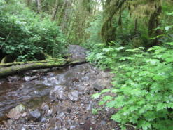
Flowing Water and Riparian Habitats
Flowing Water and Riparian Habitats include all naturally occurring flowing freshwater streams and rivers throughout Oregon as well as the adjacent riparian habitat.
Sagebrush Habitats
Sagebrush habitats include all sagebrush steppe- and shrubland-dominated communities found east of the Cascade Mountains.
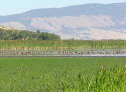
Wetlands
Wetlands are covered with water during all or part of the year. Permanently wet habitats include backwater sloughs, oxbow lakes, and marshes, while seasonally wet habitats include seasonal ponds, vernal pools, and wet prairies.
Strategy Species
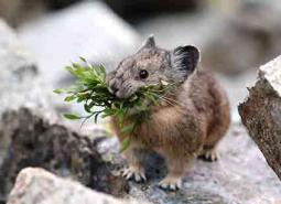
American Pika (Modeled Habitat)
Ochotona princeps
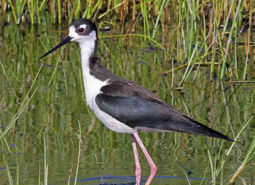
Black-necked Stilt (Modeled Habitat)
Himantopus mexicanus
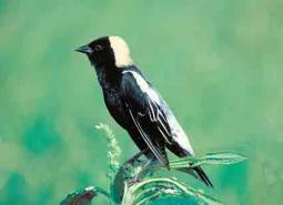
Bobolink (Modeled Habitat)
Dolichonyx oryzivorus
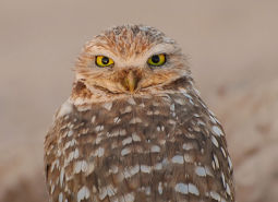
Burrowing Owl (Modeled Habitat)
Athene cunicularia hypugaea
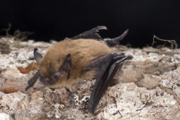
California Myotis (Modeled Habitat)
Myotis californicus
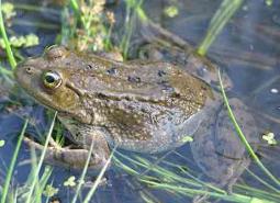
Columbia Spotted Frog (Observed)
Rana luteiventris
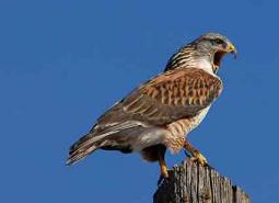
Ferruginous Hawk (Observed)
Buteo regalis
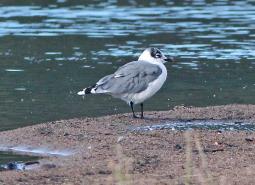
Franklin’s Gull (Modeled Habitat)
Leucophaeus pipixcan
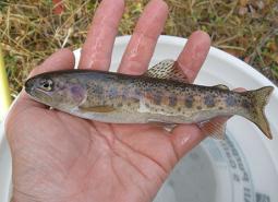
Great Basin Redband Trout (Documented)
Oncorhynchus mykiss newberrii
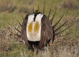
Greater Sage-Grouse (Observed)
Centrocercus urophasianus
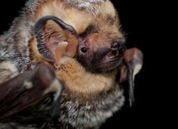
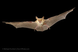
Hoary Bat (Modeled Habitat)
Lasiurus cinereus
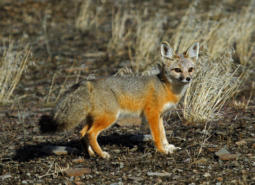
Kit Fox (Observed)
Vulpes macrotis
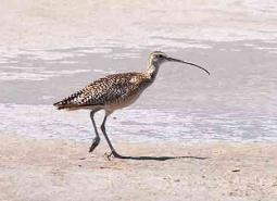
Long-billed Curlew (Modeled Habitat)
Numenius americanus
Long-legged Myotis (Observed)
Myotis volans
Pallid Bat (Modeled Habitat)
Antrozous pallidus
Pygmy Rabbit (Modeled Habitat)
Brachylagus idahoensis
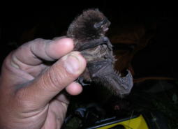
Silver-haired Bat (Modeled Habitat)
Lasionycteris noctivagans
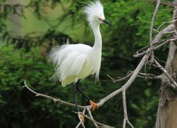
Snowy Egret (Modeled Habitat)
Egretta thula
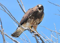
Swainson’s Hawk (Observed)
Buteo swainsoni
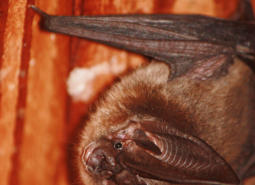
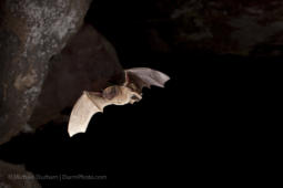
Townsend’s Big-eared Bat (Modeled Habitat)
Corynorhinus townsendii
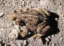
Western Toad (Observed)
Anaxyrus boreas
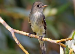
Willow Flycatcher (Modeled Habitat)
Empidonax traillii