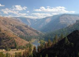
This long narrow COA spans two ecoregions. Within the East Cascades, it begins on the south side of the Metolius River, northwest of Lake Billy Chinook, and crosses over the river and into the Warm Springs Reservation. Heading north east, the COA crosses into the Blue Mountains ecoregion, across US Highway 26, and at its northern extent abuts the Lower Deschutes River COA (148) west of the Mutton Mountains. The COA barely crosses into the Columbia Plateau ecoregion (< 0.5 Square mi) in its northwest corner.
COA ID: 150
Ecoregions
Blue Mountains
Located in NE Oregon, the Blue Mountains ecoregion is the largest ecoregion in the state. It provides a diverse complex of mountain ranges, valleys, and plateaus that extend beyond Oregon into the states of Idaho and Washington.
Columbia Plateau
The Columbia Plateau ecoregion was shaped by cataclysmic floods and large deposits of wind-borne silt and sand earlier in its geological history. It is dominated by a rolling landscape of arid lowlands dissected by several important rivers, and extends from the eastern slopes of the Cascades Mountains, south and east from the Columbia River to the Blue Mountains.
East Cascades
The East Cascade ecoregion extends from the Cascade Mountains’ summit east to the warmer, drier high desert and down the length of the state. This ecoregion varies dramatically from its cool, moist border with the West Cascades ecoregion to its dry eastern border, where it meets sagebrush desert landscapes.
Strategy Habitats
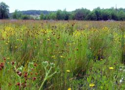
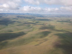
Grasslands
Grasslands include a variety of upland grass-dominated habitats, such as upland prairies, coastal bluffs, and montane grasslands.
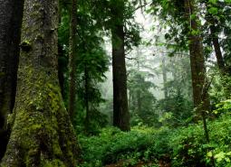
Late Successional Mixed Conifer Forests
Late successional mixed conifer forests provide a multi-layered tree canopy, including large-diameter trees, shade-tolerant tree species in the understory, and a high volume of dead wood, such as snags and logs.
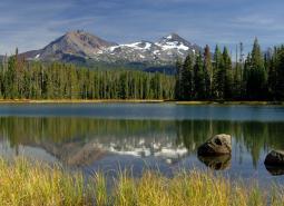
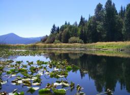
Natural Lakes
Natural lakes are relatively large bodies of freshwater surrounded by land. For the purposes of the Conservation Strategy, natural lakes are defined as standing water bodies larger than 20 acres, including some seasonal lakes.
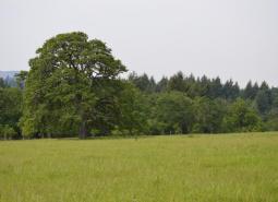
Oak Woodlands
Oak woodlands are characterized by an open canopy dominated by Oregon white oak.
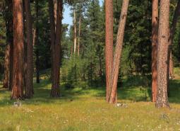
Ponderosa Pine Woodlands
Ponderosa pine woodlands are dominated by ponderosa pine, but may also have lodgepole pine, western juniper, aspen, western larch, grand fir, Douglas-fir, mountain mahogany, incense cedar, sugar pine, or white fir, depending on ecoregion and site conditions. Their understories are variable combinations of shrubs, herbaceous plants, and grasses.
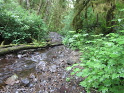
Flowing Water and Riparian Habitats
Flowing Water and Riparian Habitats include all naturally occurring flowing freshwater streams and rivers throughout Oregon as well as the adjacent riparian habitat.
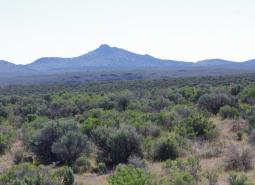
Sagebrush Habitats
Sagebrush habitats include all sagebrush steppe- and shrubland-dominated communities found east of the Cascade Mountains.
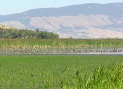
Wetlands
Wetlands are covered with water during all or part of the year. Permanently wet habitats include backwater sloughs, oxbow lakes, and marshes, while seasonally wet habitats include seasonal ponds, vernal pools, and wet prairies.
Strategy Species
American Three-toed Woodpecker (Modeled Habitat)
Picoides dorsalis
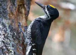
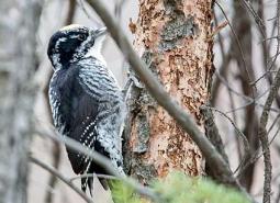
Black-backed Woodpecker (Modeled Habitat)
Picoides arcticus
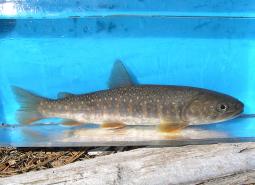
Bull Trout (Documented)
Salvelinus confluentus
California Myotis (Modeled Habitat)
Myotis californicus
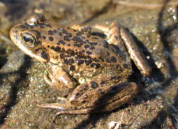
Cascades Frog (Modeled Habitat)
Rana cascadae
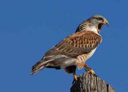
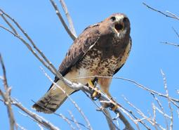
Ferruginous Hawk (Modeled Habitat)
Buteo regalis
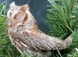
Flammulated Owl (Modeled Habitat)
Psiloscops flammeolus
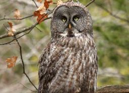
Great Gray Owl (Modeled Habitat)
Strix nebulosa
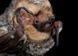
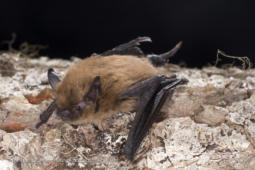
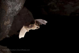
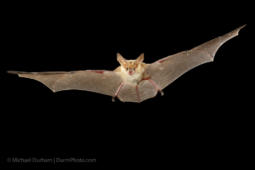
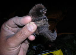
Hoary Bat (Modeled Habitat)
Lasiurus cinereus
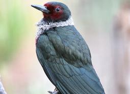
Lewis’s Woodpecker (Observed)
Melanerpes lewis
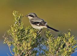
Loggerhead Shrike (Observed)
Lanius ludovicianus
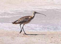
Long-billed Curlew (Observed)
Numenius americanus
Long-legged Myotis (Modeled Habitat)
Myotis volans
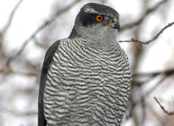
Northern Goshawk (Modeled Habitat)
Accipiter gentilis atricapillus
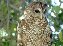
Northern Spotted Owl (Observed)
Strix occidentalis caurina
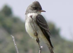
Olive-sided Flycatcher (Modeled Habitat)
Contopus cooperi
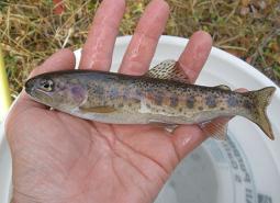
Great Basin Redband Trout (Documented)
Oncorhynchus mykiss newberrii
Pallid Bat (Modeled Habitat)
Antrozous pallidus
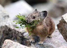
American Pika (Modeled Habitat)
Ochotona princeps
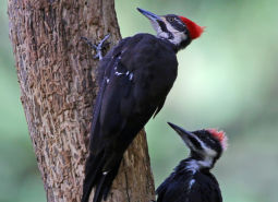
Pileated Woodpecker (Modeled Habitat)
Dryocopus pileatus
Silver-haired Bat (Modeled Habitat)
Lasionycteris noctivagans
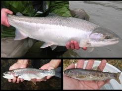
Steelhead / Rainbow / Redband Trout (Documented)
Oncorhynchus mykiss ssp
Swainson’s Hawk (Modeled Habitat)
Buteo swainsoni
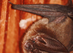
Townsend’s Big-eared Bat (Modeled Habitat)
Corynorhinus townsendii
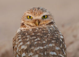
Burrowing Owl (Modeled Habitat)
Athene cunicularia hypugaea
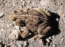
Western Toad (Modeled Habitat)
Anaxyrus boreas
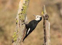
White-headed Woodpecker (Observed)
Picoides albolarvatus