The Luckiamute Watershed Council (LWC) partnered with Oregon State Parks on the Luckiamute Landing State Natural Area enhancement project at the confluence of the Luckiamute and Willamette Rivers. The confluence area is called out in several regional plans as an area of concern. Both the Middle Willamette River Floodplain and Luckiamute River and Tributaries are Conservation Opportunity Areas (COAs).
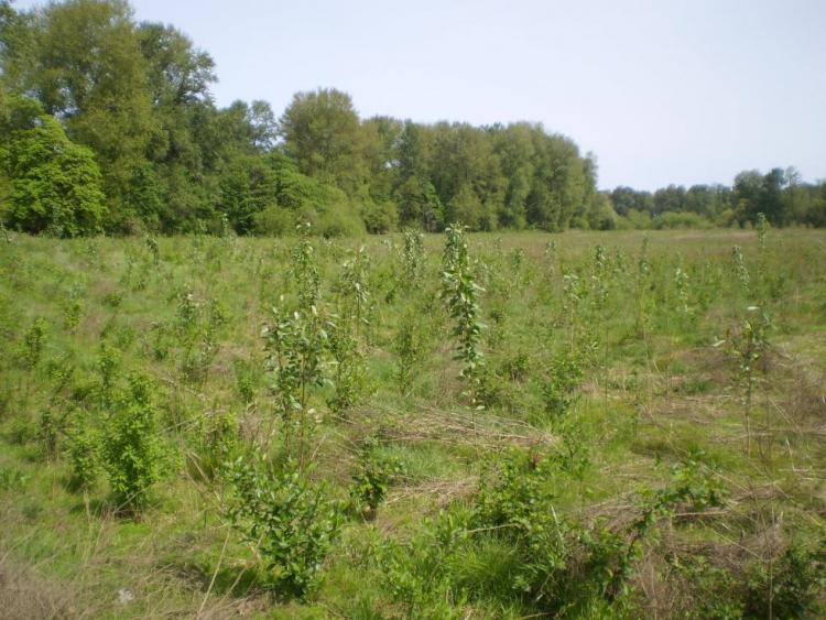
As of 2015, the LWC is working on more than 300 acres of floodplain forest (bottomland hardwoods), riparian re-vegetation and enhancement, and interpretive sign development along the North Tract Trail. The LWC is also pursuing funding for floodplain reconnection opportunities at the site to increase the extent and duration of inundation. In a separate effort, Oregon State Parks is managing Western pond turtle habitat on the South Tract. These actions all are recommended by the Oregon Conservation Strategy.